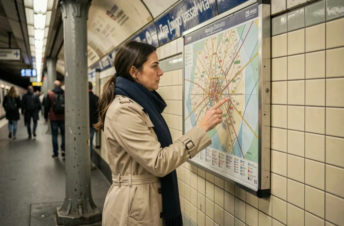
The Navigo zone map no longer structures pricing in the same way depending on the type of transport ticket used. Since the reform on January 1, 2025, single tickets for Metro-Train-RER apply a flat rate across the entire Île-de-France rail network (excluding airport stations), priced at 2.55 euros in 2026. Zones 1 to 5 now only concern subscriptions and passes.
Confusing the two systems remains the most common mistake among regular and occasional users.
Flat rate for single tickets: what the reform changes for zoning
Before 2025, crossing multiple zones with a single ticket involved an additional cost. This mechanism has disappeared. A journey on the RER from Paris to any Île-de-France station (excluding airports) now costs the same as an intra-city journey.
We recommend clearly distinguishing between two situations. For a one-time trip, zoning no longer has a financial impact. For daily use with a subscription, the issue of zones remains structuring, even though it has also evolved.
Finding the detailed Navigo zone map allows you to visualize the covered area, but the map is no longer sufficient to understand what you are actually paying for. The pricing grid depends on the type of ticket loaded onto the card, not on the journey displayed on the card.
Navigo all zones pass: the end of combinations 1-2, 1-3, or 2-4

The Navigo Weekly, Monthly, and Annual passes now cover the entirety of zones 1 to 5. The old tiered formulas (zones 1-2, zones 1-3, zones 2-4) have been eliminated. A subscriber pays a single rate for unlimited access across the entire Île-de-France Mobilités network, regardless of their place of residence or work.
This standardization has a direct consequence: comparing zones to “save” on your pass no longer makes sense. The choice is now between the type of pass (Weekly, Monthly, Annual) and not between geographical combinations.
The Annual Navigo pass has also been made accessible via the Cards app on iPhone, simplifying subscription without going to a ticket counter. The dematerialization of the card changes habits, but the geographical coverage remains identical regardless of the card (physical card or phone).
Why the zone map is still displayed everywhere
The division into five zones retains an operational role for Île-de-France Mobilités. It serves as a reference for bus-train connections, the calculation of estimated travel times, and the organization of Noctilien lines. The zonal mapping also structures the solidarity pricing and discounts granted based on income conditions.
In practice, the zones still define the coverage of special tickets (Navigo Day, Paris Visit) which, in turn, retain options by geographical tier. Not checking the validity zone of a Navigo Day before boarding a Transilien to the outer suburbs exposes one to a fine.
RER and Transilien lines: the pitfalls of crossing zones
The Île-de-France rail network crosses the five zones in a non-linear manner. Two neighboring stations can belong to different zones, particularly on the branches of the RER B, C, and D. The concentric logic of the map masks complex geographical realities.
- The RER B travels from zone 1 (Gare du Nord) to zone 5 (Charles de Gaulle airport) in about twenty stations, with irregular zone jumps between the stops in Seine-Saint-Denis and Val-d’Oise.
- The RER C serves stations classified in zone 2 in Ivry and then in zone 4 in Brétigny, without the distance justifying this classification inherited from administrative division.
- The Transilien lines (SNCF network) follow the same zoning, but some stations located on the border of two zones are regularly a source of confusion during inspections, especially for holders of Navigo Day tickets.

For subscribers to the Navigo all zones pass, these subtleties no longer have a pricing impact. However, users with single tickets must ensure that their journey does not pass through an airport station, the only case where an additional charge still applies.
Noctilien and night buses: a specific zoning often overlooked
The Noctilien network operates according to its own logic. Its lines are organized into fare sections distinct from the classic RER zones. A Navigo all zones pass covers the entire Noctilien network, but a single ticket only allows for a limited number of sections.
The longest Noctilien lines (N1, N2) cross the entire region, from Paris to municipalities located in zone 5. On these lines, a traveler with a simple bus-tram ticket will need to validate a second ticket beyond a certain number of sections. The Navigo zone map does not represent these Noctilien sections, making the reading of the night network particularly opaque.
Extension of the Navigo perimeter towards Dreux, Montargis, and Malesherbes
Île-de-France Mobilités has extended the Île-de-France pricing to stations located beyond the former limits of zone 5, notably towards Dreux, Montargis, and Malesherbes. These stations, previously subject to a distinct SNCF pricing, are now integrated into the Navigo perimeter.
This extension redefines the actual contours of the zone map without altering the visual division into five circles. The official map no longer accurately reflects the validity perimeter of subscriptions, which requires checking the list of covered stations directly on the Île-de-France Mobilités app.
The Navigo zoning remains a tool for geographical identification, but its pricing function has significantly reduced. A regular traveler no longer has to choose between combinations of zones for their pass. The real criterion for choice now revolves around the duration of commitment (Weekly, Monthly, Annual) and the medium (physical card or digital). Checking the validity of one’s ticket at airport stations and Noctilien sections is now the only concrete point of vigilance related to zoning.